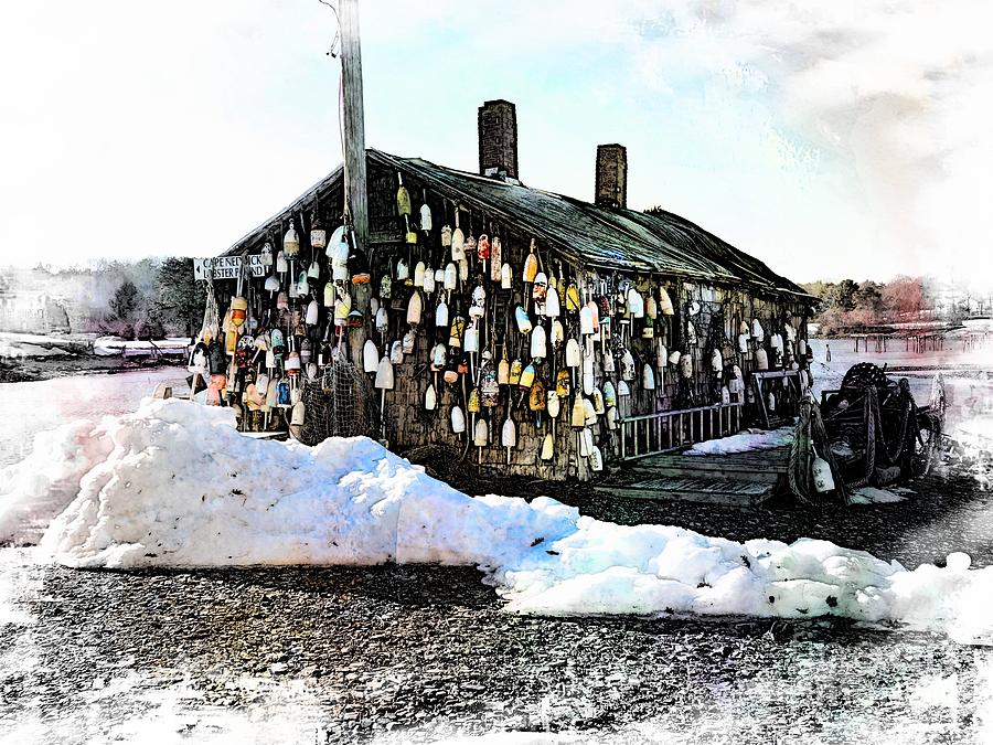
Cape Neddick Lobster Shack

by Marcia Lee Jones
Title
Cape Neddick Lobster Shack
Artist
Marcia Lee Jones
Medium
Photograph - Photography
Description
Cape Neddick is located at 43�10üī8üŹN 70�37üī2üŹW (43.169023, -70.617341).[2] The CDP as defined includes all of the physical peninsula known as Cape Neddick, plus all of the unincorporated community of York Beach, which consists of two beaches, one on either side of Cape Neddick. The northern limit of the CDP is the town of Ogunquit. The western boundary of the CDP is U.S. Route 1, and the southern boundary abuts the northern edge of the York Harbor CDP. The eastern edge of the CDP is the shoreline of the Atlantic Ocean. According to the United States Census Bureau, the CDP has a total area of 4.0 square miles (10 km2), of which 3.7 square miles (9.6 km2) is land and 0.2 square miles (0.52 km2) of it, or 6.03%, is water.[1]
Cape Neddick Light, also known as Nubble Lighthouse, is the most distinctive feature of the community. Construction began in 1876 and cost $15,000. It was first illuminated on July 1, 1879. The lighthouse was originally red but has been painted white since 1902. The distinctive red house was also built in 1902. The tower stands 41 feet (12 m) tall. The lighthouse became automated in 1987.
Uploaded
April 3rd, 2015
Statistics
Viewed 1,516 Times - Last Visitor from New York, NY on 04/25/2024 at 10:48 AM
Embed
Share
Sales Sheet


